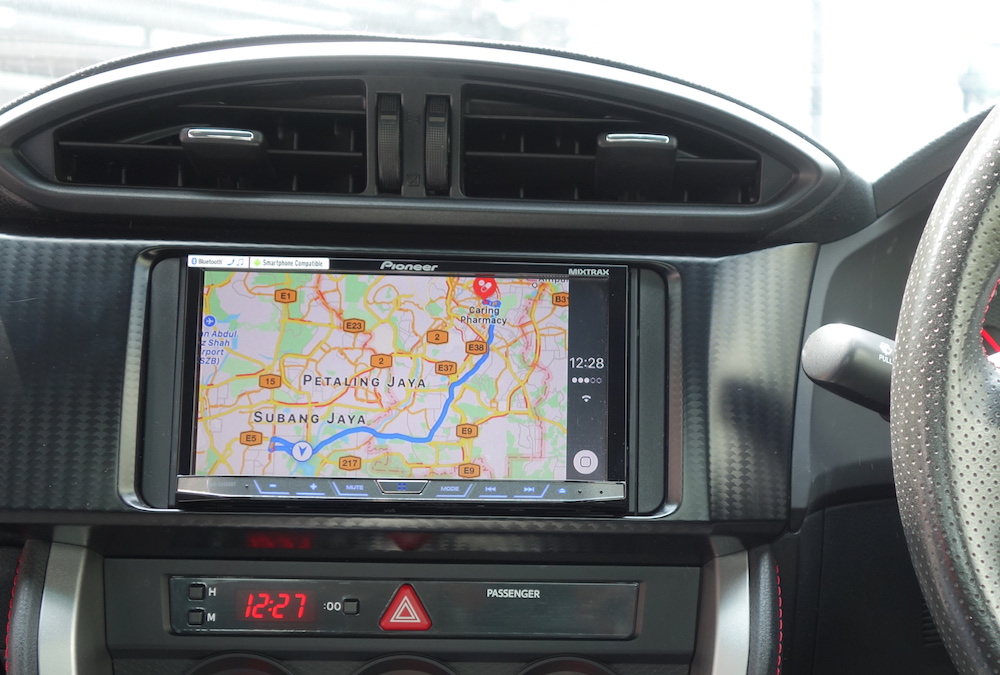
Apple is rumoured to be ready to deploy a fleet of drones across the United States of America. This flock of mechanical avians will scour streets to update information for Apple Maps faster than its current collection of sensor laden SUVs.
Sources told Bloomberg that Apple is also developing fresh features for Maps, including the view from inside buildings. It’s unknown if this has anything to do with the drones, but it would seem that the company is looking to increase its ability to compete with Google’s mapping services.

Apple’s mapping has improved since the launch debacle back in 2012. The service was wildly inaccurate in its early days, with many locations being mislabeled; and the government of Australia being forced to issue a warning after people were ending up trapped in the Outback.
For now, it looks like Apple has received approval to fly drones around the US; with the FAA providing the green light back in March 2016. It’s likely that this will be the first step for Apple, and it likely that the programme will be expanded to other important regions. However, Apple itself has declined to comment on the matter.
[Source: Bloomberg]
Follow us on Instagram, Facebook, Twitter or Telegram for more updates and breaking news.


