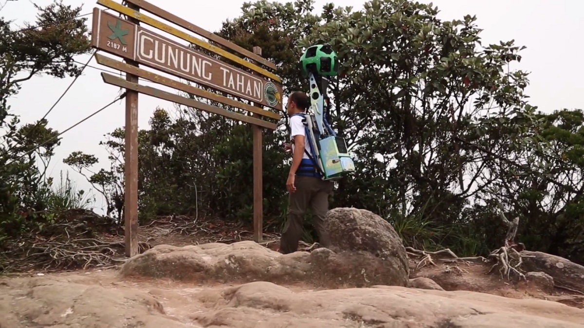
Google Malaysia is celebrating this year’s Malaysia Day by introducing Street View images for Gunung Tahan. The imagery will show all three trails to the summit of the highest peak in Peninsula Malaysia, covering well over 100km of forest.
Mapping the three trails leading to the top of Gunung took the Google Street View team – with help from the Malaysian Nature Society – some 10 days to complete. The task was made substantially more difficult as they had to use the backpack mounted Street View Trekker instead of the usual Street View car.

Gunung Tahan isn’t the only addition to Street View for Malaysia Day 2016. Google is also expanding the coverage of its imagery to include KL Sentral, KLIA and KLIA2, Aquaria KLCC, National Library, Galeria Sri Perdana, Kuala Gandah Elephant Sanctuary, National Planetarium, Museum of Asian Art, Kek Lok Si Temple, and Kuching Friendship Park.
Head over to Google Street View to take a closer look at what the trail up Gunung Tahan actually looks like; and for the chance to check other local landmarks out from the comfort of your own home.
Follow us on Instagram, Facebook, Twitter or Telegram for more updates and breaking news.


