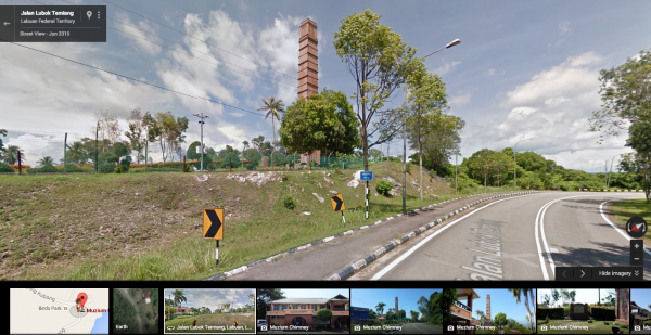
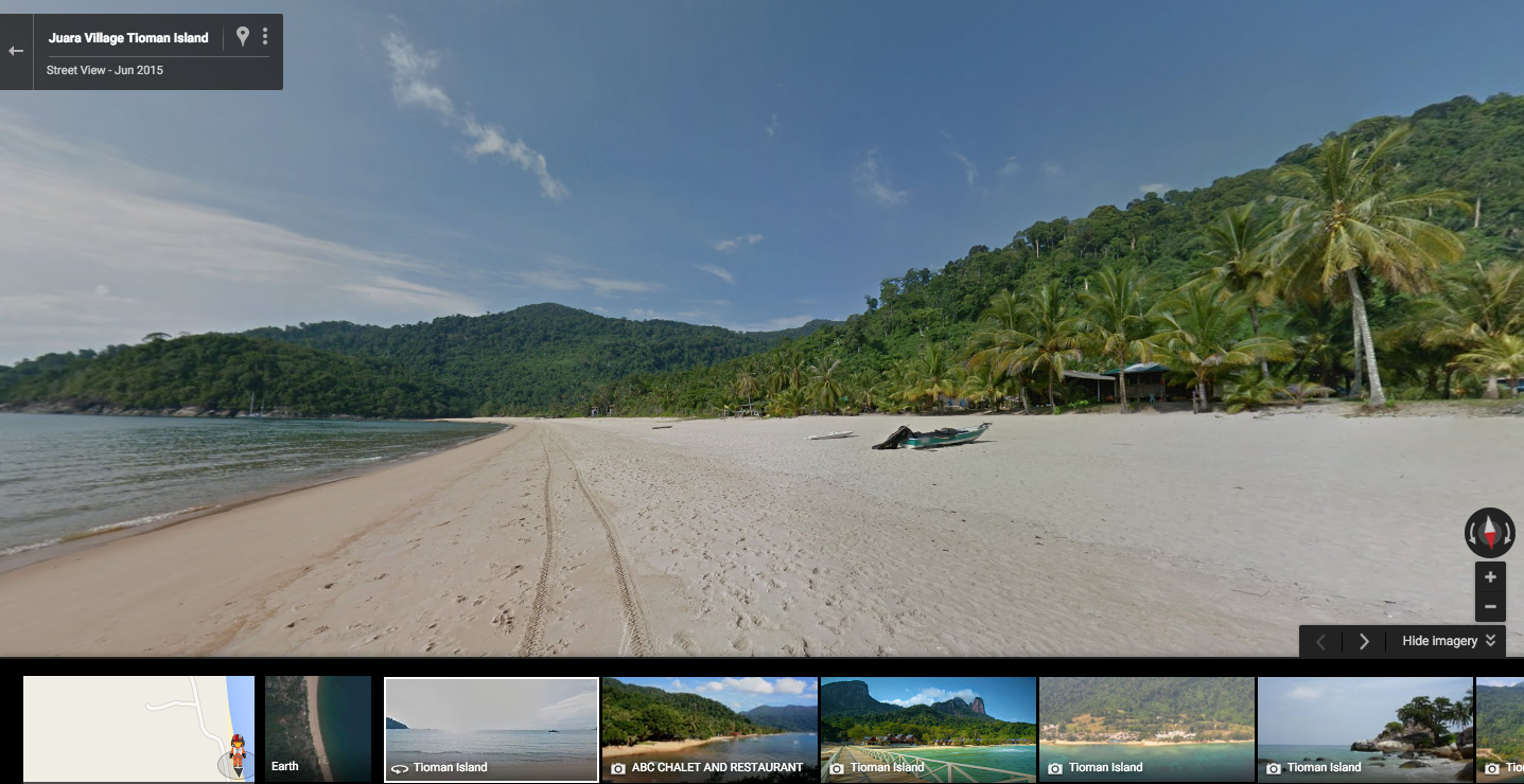
To fulfil Google’s aim of building the most comprehensive, accurate and usable map of the world, the company has now added Tioman Island and Labuan’s Street View imagery to Google Maps in Malaysia.
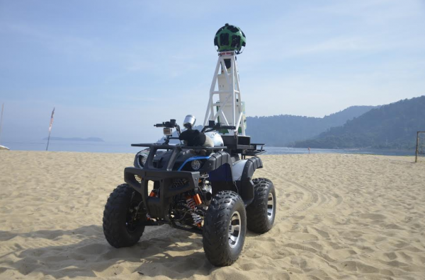
In conjunction with World Oceans Day back in June this year, Google captured imagery of Tioman Island using an all-terrain vehicle (ATV) that has a Street View Trekker camera mounted on it. That’s not all: public roads of Labuan are also available for the public to explore on their smart devices now.


To access the feature, all you need to do is just go to Google Maps and drag the yellow “Pegman” icon on the right hand side to the location you wish to view. Whether it’s a trip to the beach or a stroll around Labuan town, Google Maps Street View can show you a preview of the place you’re looking for.
Those who have never been to Tioman Island or Labuan can try it out in Google Maps here and here. You may not be at Tioman Island enjoying the beach and the sea, but Google Map Street View should be the next best thing.
Follow us on Instagram, Facebook, Twitter or Telegram for more updates and breaking news.


