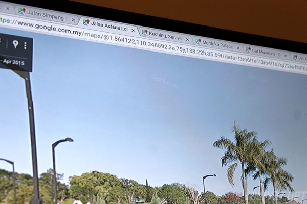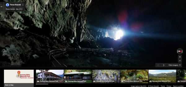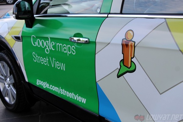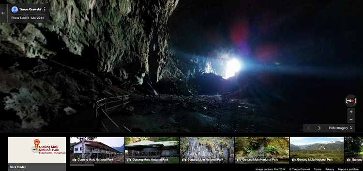
Google has expanded its Street View imagery of Malaysian roads to include Sabah and Sarawak. The effort took some six months, including the time to trek through Mulu National Park. This most recent expansion follows the addition of thousands of kilometres of Malaysian coastline through the Paddle for Nature programme that ended in February 2015.

About 80-percent of public roads in Sabah and Sarawak are now available on Google Street View, an impressive task consider the remoteness of some of these locations. A usual, internet goers will be able to catch a glimpse of what East Malaysia looks like from the comfort of their own homes by simply dropping the orange “Pegman” icon onto a road captured by Street View.

Mulu National Park is a special highlight of the new Street View Imagery as it is a UNESCO world heritage site famous for its limestone karst formations. The Street View team is preparing to expand the coverage of additional national parks in Malaysia, although that still depends on the local authorities giving them permission to enter the locations and capture imagery.

Google Street View now covers most Malaysian public roads, although gated communities remain closed and unavailable on the mapping feature. Privacy concerns are addressed by the blurring of most identifying features like car license plates and faces. People may also submit a removal request to good to have their homes or persons removed from Google Street View imagery if they feel that it invades their privacy.
Follow us on Instagram, Facebook, Twitter or Telegram for more updates and breaking news.


