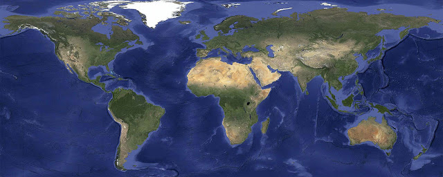
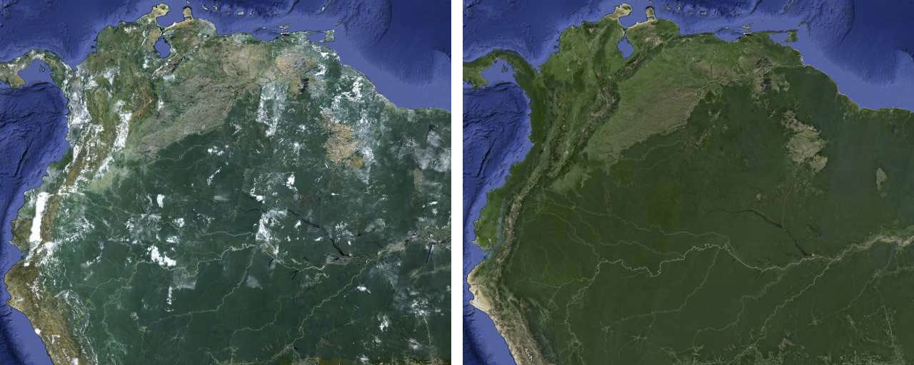
You know how when you open the satellite view on your Google Maps and you’re greeted with patches of white cloud that covers what you want to see? Say goodbye to those days because Google recently refreshed their Google Earth and Maps with 800,000MB worth of satellite imagery that is almost completely free of cloud.
The imagery is made by combining the hundreds of terabytes of data from USGS’s and NASA’s Landsat 7 satellite for a seamless, globally-consistent image of the entire planet with a resolution of 15 meters per pixel. With such a large number of data, the Internet giant was able to reconstruct cloud-free imagery even in tropical regions that are always at least partly cloudy.
Check out the new imagery immediately by going to Google Maps and turning on satellite view, or launch Google Earth and start zooming out. Have fun.
More information available in Google Map’s blog.


